Stay · explore · build one responsible trip

Stay & explore.

Build a regional journey from Mercer County to coal and rail heritage, presidential sites, Civil War landscapes, caves, festivals, museums, and mountain scenery—then bring every discovery back to the county's story.

Start with the map

Explore destinations across the region.

Search or filter the map to discover museums, historic sites, coal and rail heritage, caves, festivals, scenic places, and other destinations across Mercer County and the surrounding region.

Use each destination's Directions link for a current route and travel estimate.Loading verified festival dates…

Select a marker for context, official information, directions, and Add to Trip. Displayed festival dates come from the separately verified date record; always recheck the linked official calendar before travel. Map data © OpenStreetMap contributors.

Colleges and universities

Higher Education Nearby

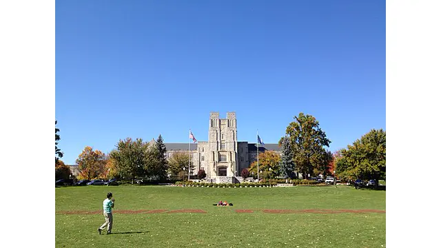
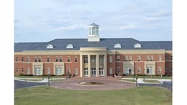
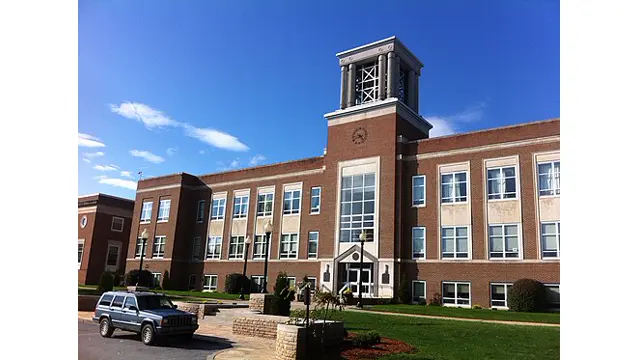
Explore colleges and universities in southern West Virginia and southwest Virginia. Visit each institution's official website for current tour schedules, admissions information, events, parking, and accessibility.

Plan around a confirmed date

Next 3 events at MCHS

Full Events Calendar →

Loading the next 3 confirmed events…

Major events nearby

Upcoming regional festivals

These are hosted by other organizations. Dates come from their official sources and should be rechecked before travel.

Loading verified regional dates…

Private itinerary wizard

Build one editable, day-by-day trip.

Choose a known starting city, trip length, pace, and interests. The draft stays in this browser; no address, account, or location service is used.

“Accessible pace” reduces the number of stops; it does not certify accessibility. Confirm entrances, terrain, restrooms, seating, mobility-device access, and accommodations directly.

Plan a Mercer County history visit

Look closer

Mercer County History & Museum Map

Move from the broad regional map to documented local properties, districts, museums, and Society-published places.

Open the focused local map →
Arrange

Book a guided tour

Tell Society staff about your group, history interests, preferred date, and accessibility needs.

Start the tour wizard →
Gather

Book an event

Ask about weddings, meetings, reunions, private events, available spaces, and catering.

Start the event wizard →
Built around history

Choose a story for your trip.

Add an entire route, then open My History Trip to remove stops, copy the list, print it, or open combined directions. Selections remain only in this browser.

Princeton

Civic & architectural history

Courthouse Square, historic homes, the former post office, Mercer Street, and the MCHS research center.

Bluefield

Coalfield, Black & educational history

Downtown, the Green Book district, First Baptist Church, Bluefield State, and the coal archives.

Bramwell

Coal-town architecture

Explore the historic districts, commercial core, coal-era residences, churches, and depot interpretation.

Athens

Education & rural history

Connect Concord University, the French House, and the history of rural communities and historic travel.

Princeton

Museum day

Connect county, railroad, military, and agricultural collections without treating one museum as the whole story.

Princeton + Bluefield

Archives & family research

Build a research day around MCHS, courthouse records, the library, and the Eastern Regional Coal Archives.

Read the landscape carefully

Historic markers, plaques & designations.

Our trip planner does not label every historic place as a roadside marker. The kind of record matters, and access must be checked before visiting.

National Register listing

A listed property or district has federal documentation, but listing does not guarantee a roadside sign, museum access, parking, or permission to enter.

Browse all 20 baseline listings →

Highway marker

A state marker should have its marker ID, current coordinates, exact wording, sponsor, date, and a recent field check before the site calls it present.

Local plaque or monument

Record who installed it, when, what it commemorates, where it stands, and whether newer evidence changes or expands the interpretation.

Cemetery, church or private property

Respect posted rules, visiting hours, active worship, burials, residents, and property boundaries. Exterior viewing from a public right-of-way may be the only appropriate access.

Staff-reviewed additions

Help improve the marker record.

Society staff can publish a verified marker or correction with coordinates, access notes, citations, photographs, alt text, and credit. Visitors should send observations rather than changing the public record directly.

Send a marker observation →
Stay, eat & plan

Use current local visitor information.

MCHS focuses on historical interpretation. Lodging, dining, transportation, and recreation listings change frequently, so those details remain with local tourism partners.

Historic markers and local places →
Make history the destination

Need a human-guided visit?

Send one structured request so staff can review the date, group, interests, access needs, and whether your plans require a tour or event rental.